24°25′N 76°41′W · Exuma Cays, Bahamas
The Exuma Cays Land & Sea Park, charted for people on the water.
Charts, rules and plans for the Exuma Cays Land & Sea Park and the Exumas. Every fee, rule and distance links to its source, and park rules come only from the Bahamas National Trust and the Bahamas government.
Which trip are you planning?
 Day trip
From Nassau in a day
Speedboat and flight tours, what a day in the cays looks like, and what the price should include.
 By boat
Cruising the park
Moorings, anchoring, fees, the no-take zone and the weather windows that decide your crossing.
 Stay
StayStaniel Cay or Great Exuma
Where to base yourself, how to fly in, and how far each base is from the park.
- The park at a glance
- Established
- 1958, first marine reserve in the Bahamas and wider Caribbean1
- Area
- 176 square miles of land and sea1
- Protection
- No-take zone: no fishing, conching, shelling or lobstering2
- Park office
- VHF 09, call "Exuma Park"; emergencies VHF 161
- Office hours
- Mon–Fri 9am–5pm, Sun 9am–12pm1
- Mooring, boat under 40 ft
- BSD 27.27/day + 10% VAT3
The Park
All 17 guides →- Exuma Cays Land & Sea Park rules: what boaters and visitors must followThe Exuma Cays Land & Sea Park rules in one list: no-take zone, anchoring, speed limits, trails, pets, camping, fires, drones, trash and how to report poaching.
- What is the Exuma Cays Land & Sea Park? Size, rules and who runs itThe Exuma Cays Land & Sea Park explained: when it was founded, how big it is, who runs it, what it protects and what boaters and day-trippers need to know.
- Exuma Park boat fees: mooring, anchoring, charter and camping ratesExuma Cays Land & Sea Park boat fees in one place: moorings by boat length, anchoring per foot, charter surcharges, landing fees, camping and annual passes.
- Exuma Park mooring fields: Warderick Wells North, Emerald Rock and Pirates LairWhich mooring fields the Exuma Cays Land & Sea Park names, which ones need a VHF 09 call ahead, which are first come first served, and how to pay.
- Exuma Park no-take zone: what it bans, why it exists and how to report poachingFishing, conching, shelling and lobstering are banned in Exuma Cays Land & Sea Park. What the no-take rule covers, the penalties, and how to report poaching.
- Warderick Wells: Exuma Park headquarters, office hours and VHF contactWhere the Exuma Cays Land & Sea Park headquarters sits on Warderick Wells, who is stationed there, how to reach the office on VHF 09, and what to do ashore.
- Exuma Park visitor center: Warderick Wells headquarters, hours and how to reach itThe Exuma Cays Land & Sea Park visitor center and headquarters on Warderick Wells: office hours, VHF 09 and 16, wardens, water, restrooms and trails ashore.
- Exuma Cays Land & Sea Park boundaries: corner coordinates and areaThe four corner coordinates of the Exuma Cays Land & Sea Park from the Bahamas National Trust, the park's size, and which cays fall inside the boundary.
Boating
All 18 guides →- Exuma Park moorings: how to get a ball, call ahead and payExuma Cays Land & Sea Park takes no mooring reservations. How to get a ball at Warderick Wells and the other fields, when to pay, what it costs and who to call.
- Anchoring in Exuma Park: where you can anchor, fees and speed rulesWhere you can and cannot anchor in Exuma Cays Land & Sea Park: no anchoring in mooring fields or on reefs, idle speed rules, jet ski distance, fees.
- Exuma anchorages by wind: trade-wind protection, swell and where park moorings applyExuma anchorages by wind: which spots shelter from the east-to-southeast trades, winter northers and westerlies, plus swell, current and park mooring rules.
- 7-day Exumas cruising itinerary: day-by-day legs, miles and stops from charter operatorsA sourced 7-day Exumas cruising itinerary from Nassau: 12knots legs with miles and hours, The Moorings and Ocean Adventure Cat routes, park rules, charter cost.
- 14-day Exumas cruising itinerary: eight sourced days, then choose an extensionA two-week Exumas cruising itinerary: IYC's route for days 1 to 8, then sourced ways to extend south to Staniel Cay, Farmer's Cay or George Town, with miles.
- Clearing Customs in the Bahamas by Boat: Click2Clear, Ports of Entry, Fees and RulesHow to clear Bahamas Customs and Immigration by boat: Click2Clear permit, ports of entry, worked fee total, fishing permit, firearms, pets and clearing out.
- Bahamas ports of entry by boat from Florida: where to clear inWhere to clear Bahamas Customs by boat from Florida: ports of entry at Bimini, Chub Cay, Nassau, Grand Bahama and Exuma, how Click2Clear works and fees.
- Bahamas Cruising Permit Cost (2026): 6-Month, 12-Month and Digital Card FeesWhat a Bahamas cruising permit costs in 2026: 6-month and 12-month fees by boat length, the 2-year digital card, passenger tax and clearance-out fee.
Places
All 23 guides →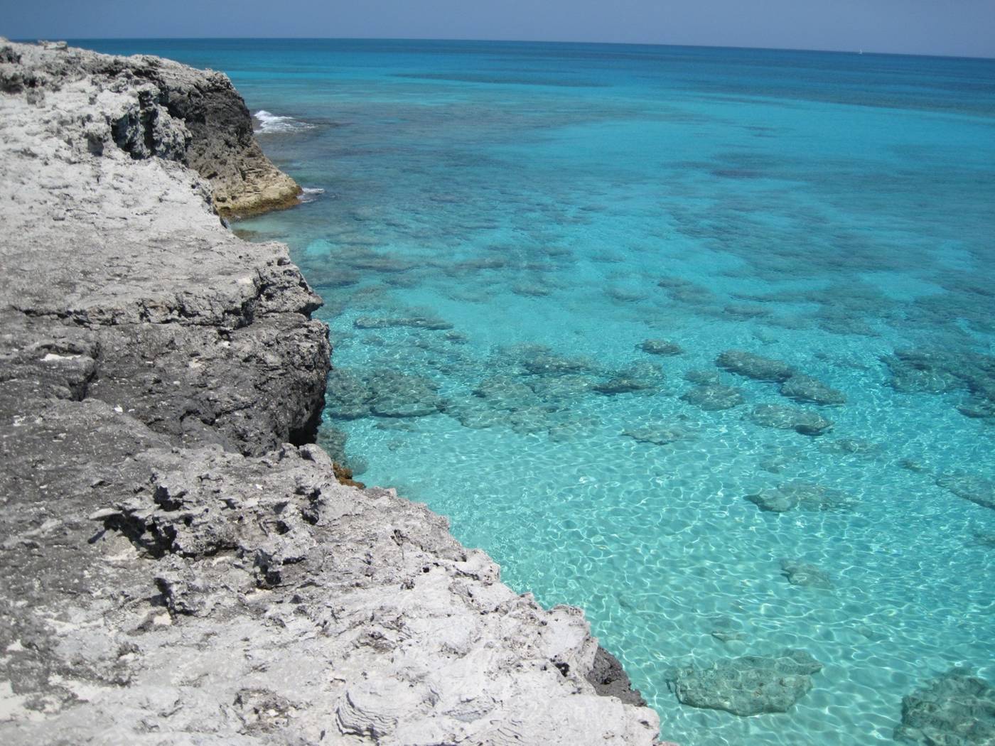
Warderick Wells
Warderick Wells is the headquarters island of the Exuma Cays Land & Sea Park: moorings, the Boo Boo Hill trail, camping, hutia, facilities and park rules.
24°23′N 76°37′W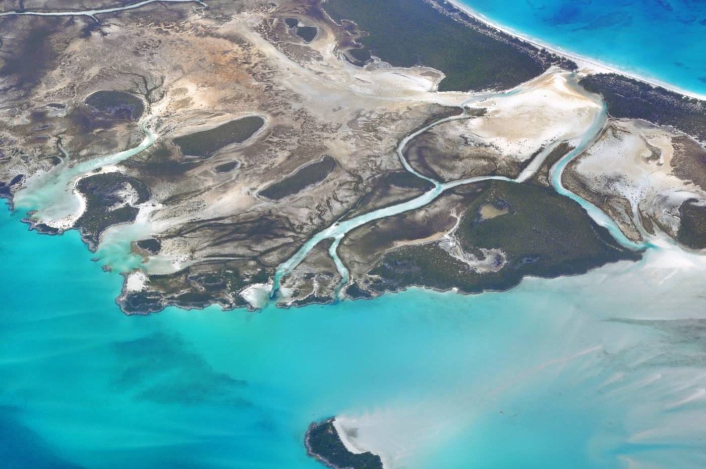
Shroud Cay
Shroud Cay is the northern end of the Exuma Cays Land & Sea Park. Creek and motor rules, the lazy-river tide, Camp Driftwood, no-take zone and who to call.
24°33′N 76°47′W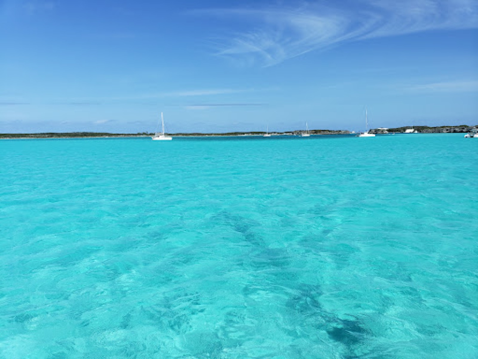
Bell Island
Bell Island is a private island inside Exuma Cays Land & Sea Park. Who controls it, what is known about Little Hall's Pond Cay, and the park rules for boats.
24°18′N 76°33′W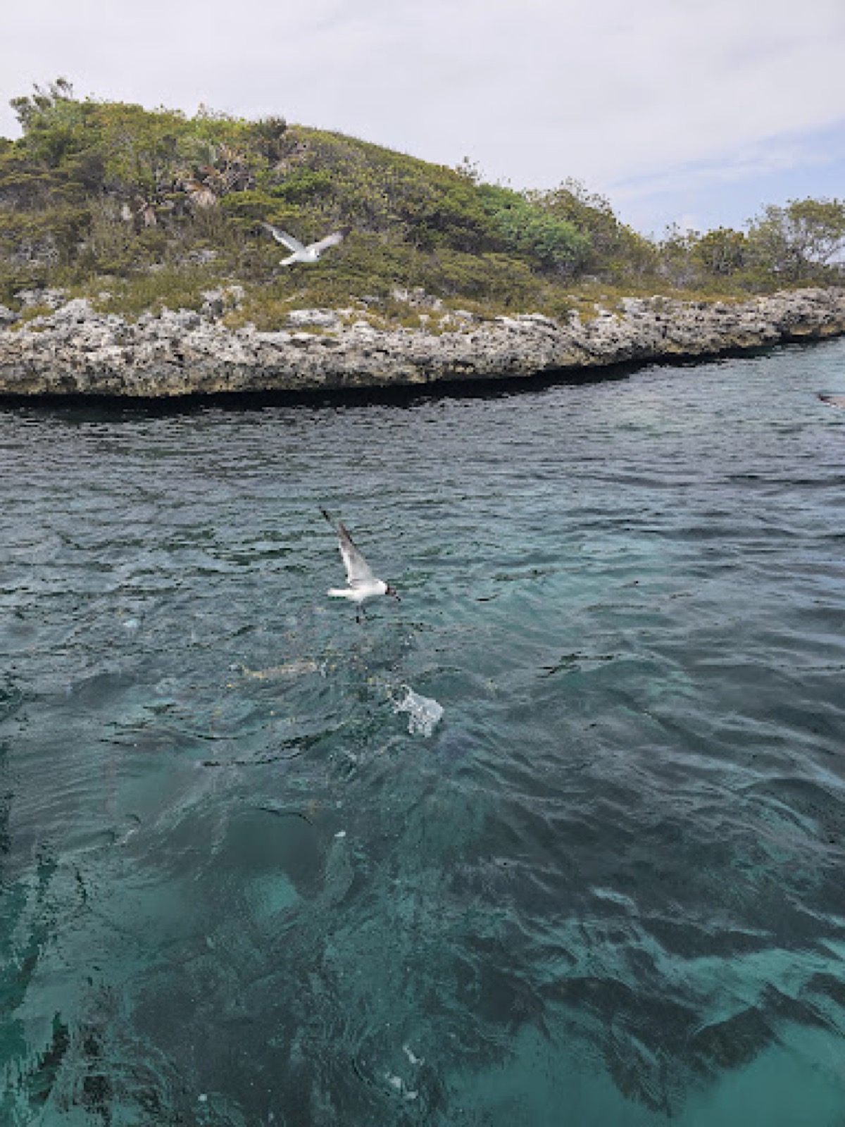
O'Brien's Cay
The Aquarium is a shallow coral wall off O'Brien's Cay in Exuma Cays Land & Sea Park. Best tide, dinghy access, what you see, mooring balls and the park rules.
24°19′N 76°33′W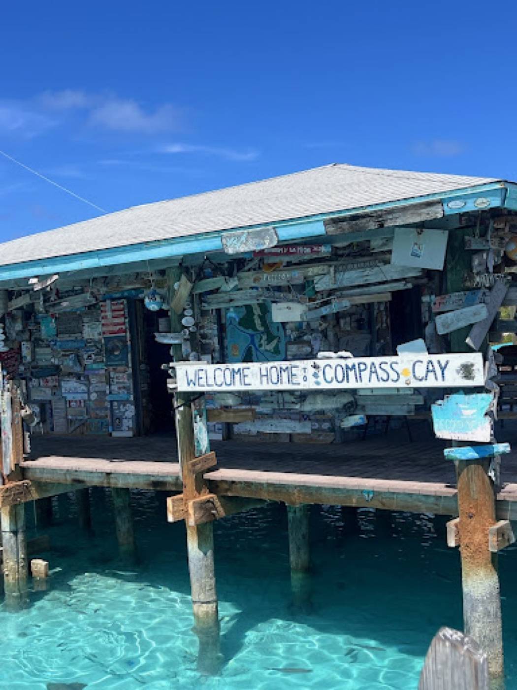
Compass Cay
Swim with docile nurse sharks at Compass Cay Marina in the Exumas: the high-tide dock swim, marina rules, who to call, and why Exuma Park rules do not apply.
24°16′N 76°31′W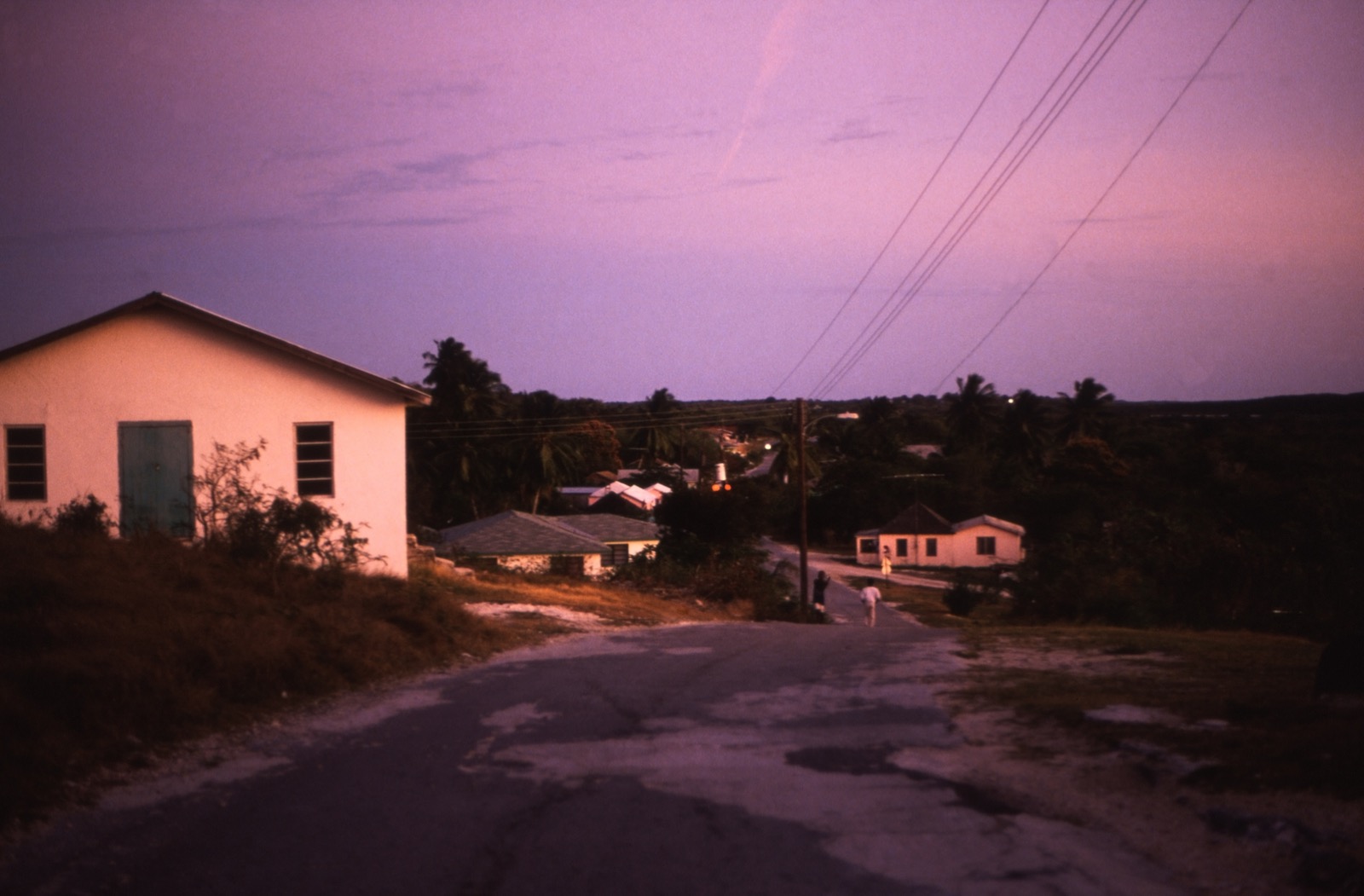
George Town, Bahamas
George Town is the capital of the Exuma district on Great Exuma: Elizabeth Harbour, the Straw Market, the regatta, Stocking Island and how to get there.
23°31′N 75°47′WBig Major Cay (Pig Beach)
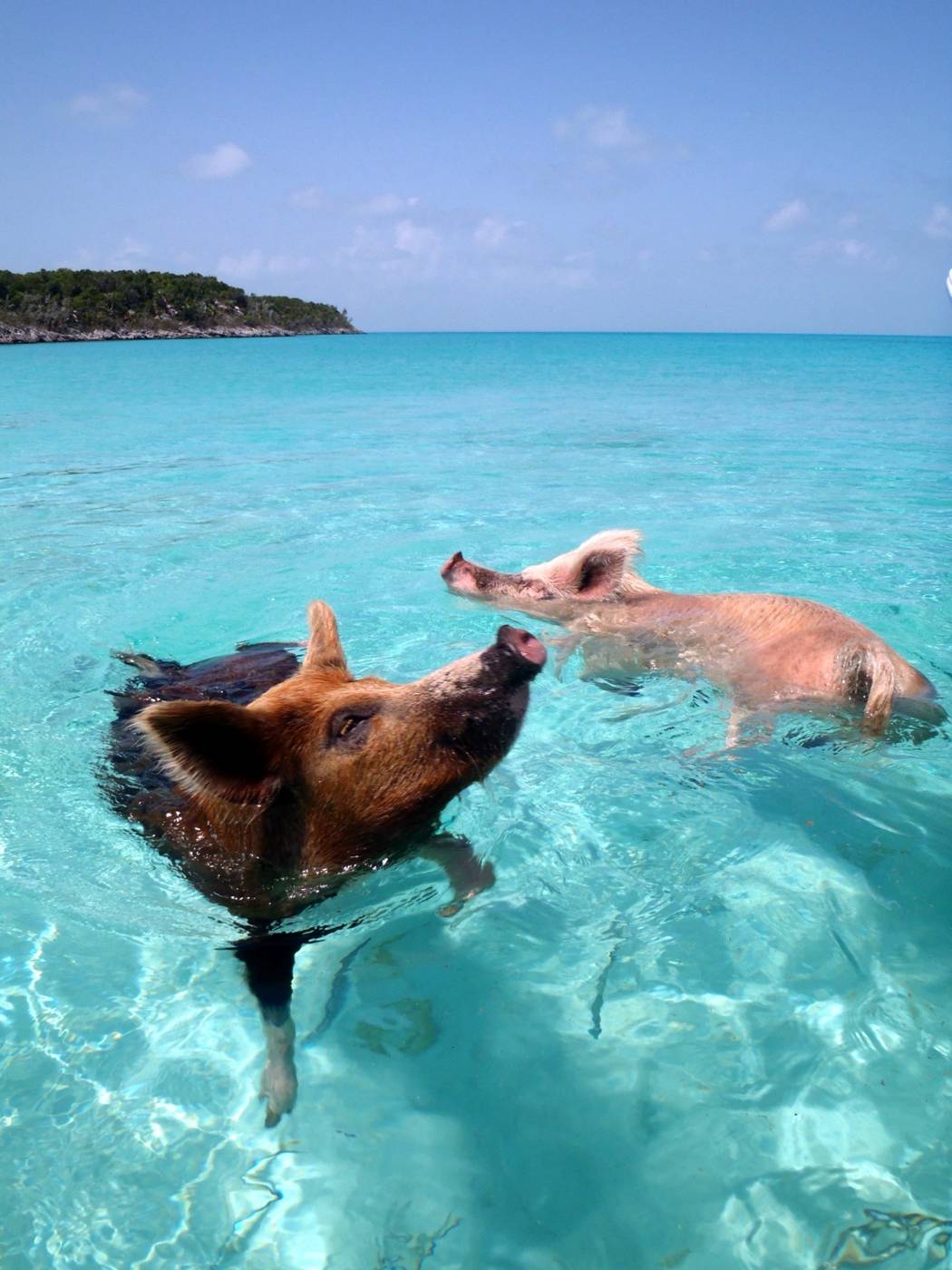
Where the Exuma swimming pigs live, how to reach Big Major Cay, what to feed them, what happened in 2017, and why park rules do not apply there.
24°11′N 76°27′W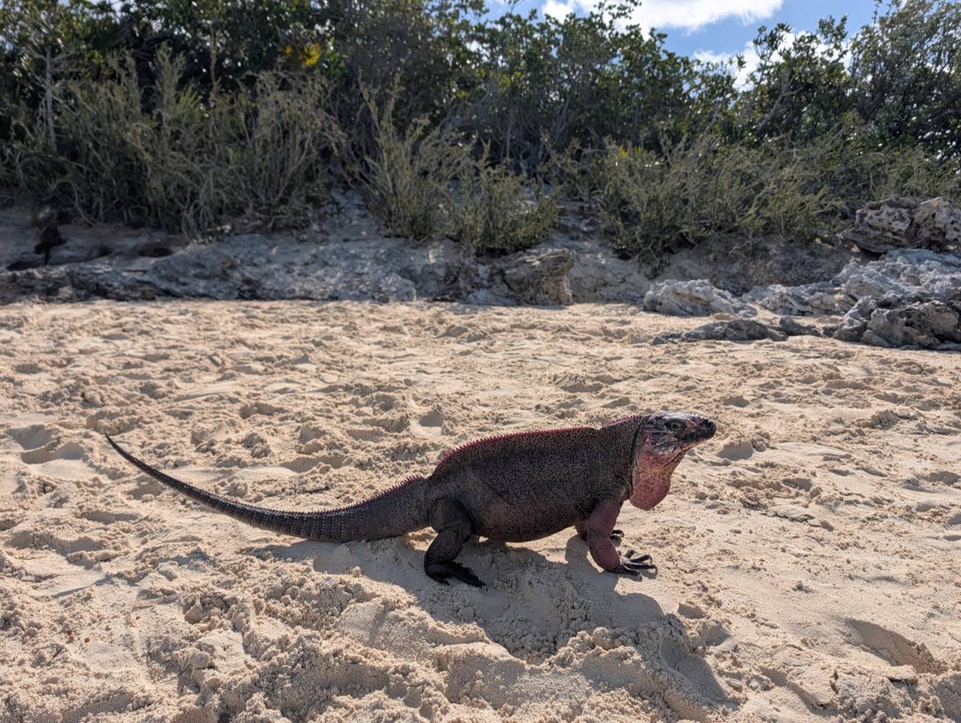
Allen's Cay
Allen's Cay rock iguanas are critically endangered, about 1,000 live on three small islands, and the cay is north of Exuma Park. Location, law and visiting.
24°45′N 76°50′WGetting there
All 10 guides →- How to get to the Exuma Cays Land & Sea ParkHow to reach the Exumas and the Exuma Cays Land & Sea Park from Nassau, Staniel Cay and George Town, plus the park office on VHF 09, ParkPay, customs and rules.
- Flights to Staniel Cay: Makers Air, Titan Air and the Sept 21 to Oct 31 airport closureFlights to Staniel Cay Airport (TYM): Makers Air from Fort Lauderdale, Titan Air from Nassau at $125 one way, the airstrip, and the Sept 21 to Oct 31 closure.
- Nassau day trip to the Exumas: boat and plane tours comparedDay tours from Nassau to the Exumas compared: powerboat vs plane, adult prices, departure times, what is included, cruise-ship timing and cancellation terms.
- Exuma day trip from a Nassau cruise ship: which tours workExuma day trips for Nassau cruise passengers: Powerboat Adventures, plane tours and Staniel Cay Adventures compared by price, hours and cruise-ship rules.
- Fly to Great Exuma: Exuma International Airport (GGT) routes, airlines and faresFlights to Exuma International Airport (GGT) at George Town: airlines and routes, sample 2026-27 fares, private-plane handling and what to expect on arrival.
- Staniel Cay to Exuma Cays Land & Sea Park: tours, guides and your own skiffHow to reach the Exuma Cays Land & Sea Park from Staniel Cay: a private park tour, Yacht Club group tours, independent guides, your own skiff, and park fees.
- Mail boat and ferry to the Exumas: what runs from Nassau and what does notMail boat and ferry options from Nassau to the Exumas: the Mailboat Company's Exuma run is cargo only, and Bahamas Ferries' passenger boat runs to Eleuthera.
- Florida to the Exumas by boat: Gulf Stream crossing, route, days and first port of entryTaking your own boat from Florida to the Exumas: Gulf Stream crossing times, the Bimini, Chub Cay and Nassau route, days needed and where to clear in first.
Plan a trip
All 17 guides →- Best time to visit the Exumas: weather, hurricane season and eventsWhen to go to the Exumas: the November to April dry season, the June to November hurricane season, Nassau rain and temperature by month, and April's regatta.
- Exuma Park day trip itinerary: Nassau tours, Staniel Cay stops and park rulesA one-day Exumas itinerary from Nassau: powerboat and flight options with prices, the Staniel Cay stops, and the rules if a tour lands inside Exuma Park.
- Exumas 3 day itinerary: a Staniel Cay base with the pigs, sharks and a park dayA three-day Exumas plan from a Staniel Cay base: Thunderball Grotto, the swimming pigs, Compass Cay sharks and a day in Exuma Cays Land & Sea Park.
- Exumas 7 day itinerary: sailing or motoring north to south through Exuma ParkA seven-day boat itinerary through the Exumas: Highbourne to Staniel Cay via Shroud, Hawksbill and Warderick Wells, with park fees, rules and charter costs.
- How much does a trip to the Exumas cost? Day trips, charters, park fees and permitsWhat an Exumas trip costs by boat: Nassau day trips, a week on a charter, Exuma Park mooring and camping fees, cruising permits, water and ice.
- Bahamas entry requirements for US citizens, by air or by boatWhat US citizens need to enter the Bahamas: passport, onward ticket, the eight-month stay limit, how to extend, and Customs steps for boat arrivals.
- Money, tipping and phones in the Exumas: cash, cards, VAT, ATMs, roaming and park signalMoney, tipping and phones for the Exumas: US and Bahamian dollars, cash versus cards, VAT, ATMs, tip rates, BTC roaming and cell signal at Warderick Wells.
- Exuma private islands and celebrity owners: who owns what and where you can goWhich famous people own islands in the Exumas: Bell Island, Little Hall's Pond Cay and Musha Cay, who can stay or land, and what it means for your boat.
Photo credits (11)
- Craig Stanfill / Wikimedia Commons · CC BY-SA 2.0 · source
- cdorobek (Flickr) / Wikimedia Commons · CC BY 2.0 · source
- cogdogblog / Wikimedia Commons · CC0 1.0 · source
- cogdogblog / Wikimedia Commons · CC0 · source
- Flickr user via Wikimedia Commons (CC0) · CC0 · source
- James St. John / Wikimedia Commons · CC BY 2.0 · source
- David Albright / Google Maps · Google Maps user photo · source
- José Adrián Moreno / Google Maps · Google Maps user photo · source
- Banu Enes / Google Maps · Google Maps user photo · source
- Rüdiger Stehn (Flickr) / Wikimedia Commons · CC BY-SA 2.0 · source
- Kazuha1029 / Wikimedia Commons · CC BY 4.0 · source


.jpg)
.jpg)
.jpg)
_7.jpg)
_Great_Exuma_George_Town_(25419816196).jpg)
